
Point-Cloud Assessment
Review of registration quality, coverage, density, coordinate system and suitability for the required engineering output.
Point cloud · BIM · As-built
We convert registered point clouds and survey data into decision-ready plant models, drawings and coordinated as-built information for retrofit, replacement and expansion work.
Discuss this scope
The engineering requirement
Industrial scans contain millions of measured points but do not automatically become usable engineering data. The modelling team must distinguish equipment from noise, choose the correct level of detail, define tolerances, classify uncertainty and structure the result for the intended modification or coordination task.
KURUKONDAR turns survey data into plant geometry that engineers can use. We begin with the target decision—layout modification, equipment replacement, access study, routing, clash review or as-built documentation—then model only the detail that creates project value. Assumptions and areas outside reliable scan coverage are made visible.
Scope of work
Defined engineering outputs with the level of detail matched to concept, tender, fabrication or site execution.
Review of registration quality, coverage, density, coordinate system and suitability for the required engineering output.
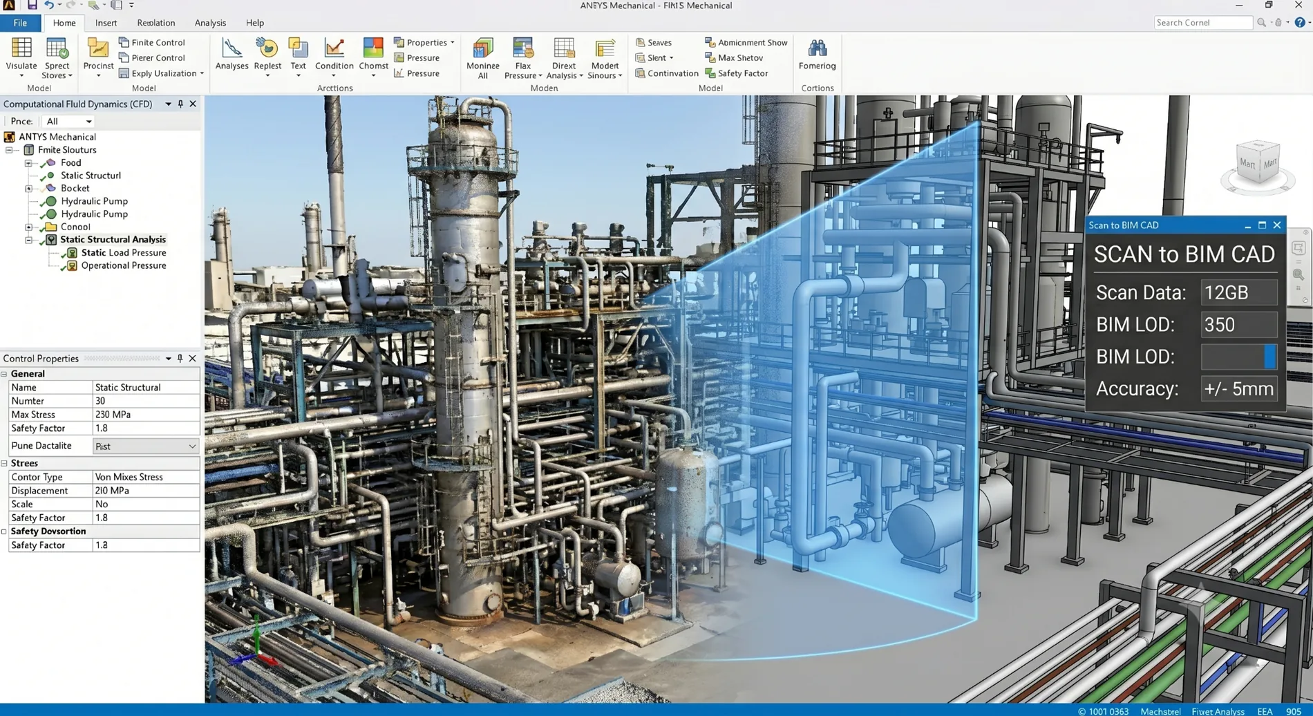
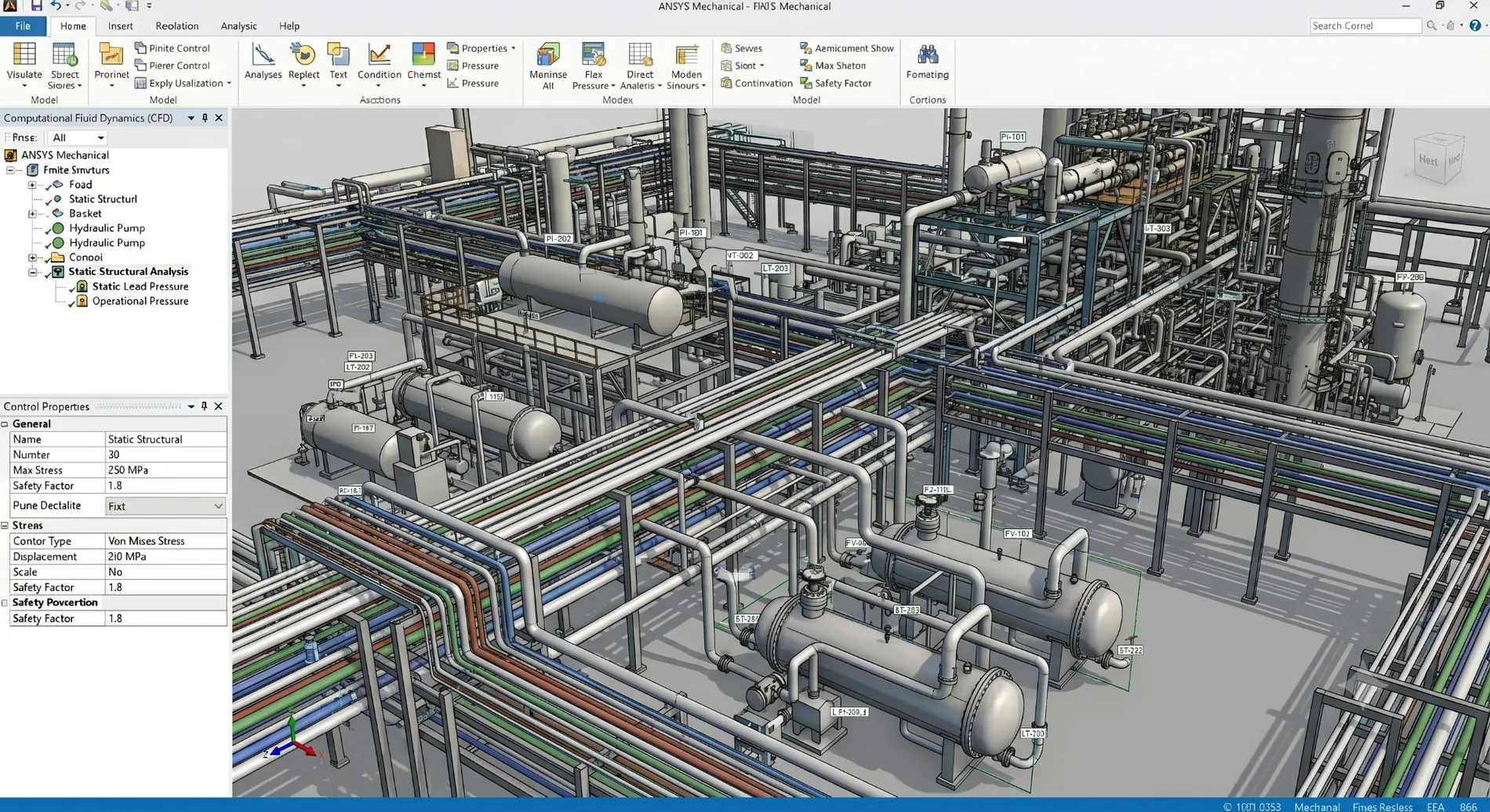
Conversion of measured conditions into structured 3D equipment, steel, piping and building geometry.
Object-based models with agreed classification, attributes, level of detail and exchange requirements.
Plans, elevations and sections derived from the verified model for documentation and modification planning.
New equipment and routes evaluated against the measured plant condition before site work begins.
Comparison of proposed geometry, legacy documentation or design models against captured reality.
Engineering in context
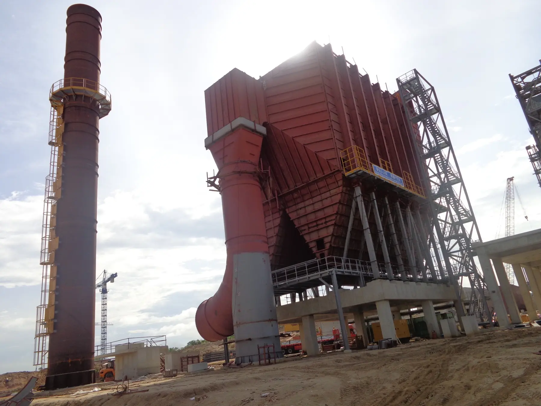
Purpose-specific visuals connect the digital model and analysis to the equipment, interfaces and site conditions they must represent.
Engineering output
Models and reports are structured for coordination, review and controlled handover—not isolated analysis.
Working method
Each stage closes a specific risk before the project moves forward.
Define what decisions the model supports and the tolerances relevant to them.
Check point-cloud coverage, registration, coordinate system and missing areas.
Build agreed objects, sample-check geometry and record uncertainty and assumptions.
Integrate proposed works, review interfaces and issue controlled deliverables.
Applications
Frequently asked questions
KURUKONDAR can work with point clouds supplied by the client or survey partner. If scanning is still required, we define the engineering coverage, targets, reference system and accuracy needs so the survey captures usable data.
The correct level depends on the decision. A routing study needs different detail from equipment fabrication or asset documentation. We recommend the minimum reliable detail that supports the intended use.
Yes. Legacy drawings are useful context, but measured conditions take precedence where they conflict. Differences and areas without reliable evidence are recorded for resolution.
Not in every case. Critical fabrication interfaces, concealed conditions and areas with poor scan coverage may still require targeted verification before manufacture or installation.
Project review
Send the available inputs. We will identify what can be delivered, what is still missing and the practical next step.
[email protected] ↗Schaltstation 1